LiDAR Services
Lidar Classification
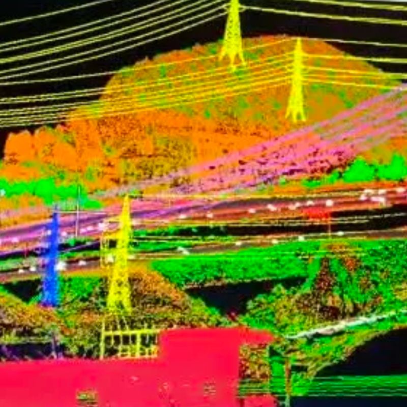
Immerse yourself in the realm of Lidar Classification, where raw data transforms into actionable insights with unparalleled precision. Our expert technicians harness the power of cutting-edge algorithms and advanced processing techniques to decipher Lidar point clouds with remarkable accuracy. Through meticulous classification, we breathe life into raw data, unveiling the hidden treasures within. From distinguishing terrain features to identifying vegetation and man-made structures, our classification process unlocks a wealth of information that empowers informed decision-making and drives transformative outcomes. Trust us to illuminate the path forward, guiding you towards a future defined by clarity, efficiency, and innovation.

Key Features:
- Harnesses advanced algorithms and processing techniques for unparalleled accuracy
- Unveils hidden insights within Lidar point clouds through meticulous classification
- Distinguishes terrain features, vegetation, and man-made structures with precision
- Empowers informed decision-making and drives transformative outcomes
- Illuminates the path forward, guiding towards a future defined by clarity and innovation.
Lidar Mapping
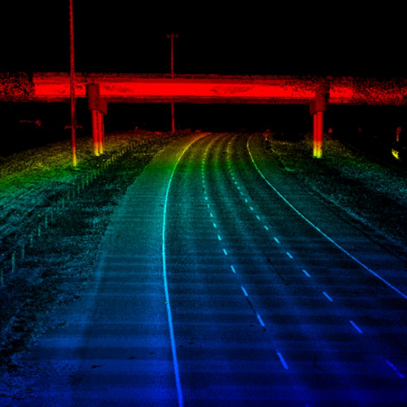
Embark on a journey of exploration and discovery with our Lidar Mapping service, where landscapes are transformed into digital works of art with breathtaking detail and accuracy. Leveraging state-of-the-art Lidar technology and expert craftsmanship, we capture the essence of terrain with unparalleled precision. From rugged mountain ranges to sprawling urban landscapes, our mapping solutions deliver comprehensive, high-resolution representations that redefine the boundaries of possibility. Whether for environmental monitoring, urban planning, or infrastructure development, our Lidar maps provide the foundation for informed decision-making and sustainable progress. Experience the world from a new perspective, where every contour tells a story and every pixel holds a promise of discovery.

Key Features:
- Captures landscapes with breathtaking detail and accuracy using state-of-the-art Lidar technology
- Delivers comprehensive, high-resolution representations of terrain
- Redefines the boundaries of possibility for environmental monitoring, urban planning, and infrastructure development
- Empowers informed decision-making and sustainable progress
- Offers a new perspective on the world, where every contour tells a story of discovery.
